

Dog Friendly Vermont Hiking Guide
Since 2001 we have have been sniffing out the most exciting and diverse dog friendly hiking and snowshoe adventures in Vermont.
Below is a tasty sampling of some of our favorite gems. We are happy to help you to find all of the hidden spots that you might not ordinarily find on your own.
Please do not hesitate to contact us for suggestions or buy Dog Friendly Hiking New England.

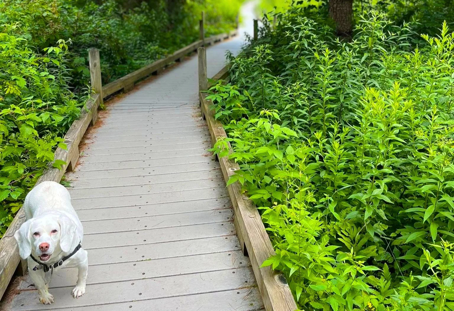
Pine Hill is a hidden jewel for every level of dog friendly hiking, snowshoeing, mountain biking, and more. Hundreds of acres of scenic hikes, overlooks, pretty ponds, streams. This is our favorite spot in all the land. If you are considering an adventure while with us, be sure to ask us about Pine Hill.
Rutland, Vermont
Easy - Moderate
With expansive views of mountain ranges from New York’s Adirondacks to Killington, Pico, and more, this is a fairly gentle climb that yields high rewards. Approximately 45 minutes up and 30 down. Access is from either Giffords State Forest or behind the Inn at the Long Trail.
Killington, Vermont
Easy - Moderate
The name could not be more appropriate. This stunning 204-acre property was a labor of love for Carson "Kit" Davidson, a New Yorker who acquired the property in 1966 and spent his days blazing trails and designing the Japanese gardens. The Ramble is home to waterfalls, ponds, bridges, meadows, sheer rock cliffs, and views of the rolling hills. Its centerpiece is the garden itself, complete with small stone shrines surrounded by water features.
Hubbardton, Vermont
Easy - Moderate
The Swinging Bridge at Clarendon Gorge
Part of the Long Trail, this spectacular hike has it all. Water features, high peaks, low valleys, wildflowers from spring - fall. You will cross a suspension bridge to access the treasures within. Keep in mind that this is not a looping trail, but well worth the out and back.
Wallingford, Vermont
Easy - Moderate
The valley floor is the remains of a glacier that cools the warm air in summer months while breathtaking views make the summit climb most worthwhile. The trail begins easy to moderate and gains in difficulty. Distance to the glacier is 30 minutes. Summit hike is approximately 2.5 hours round trip.
Wallingford, Vermont
Easy - Moderate - Difficult
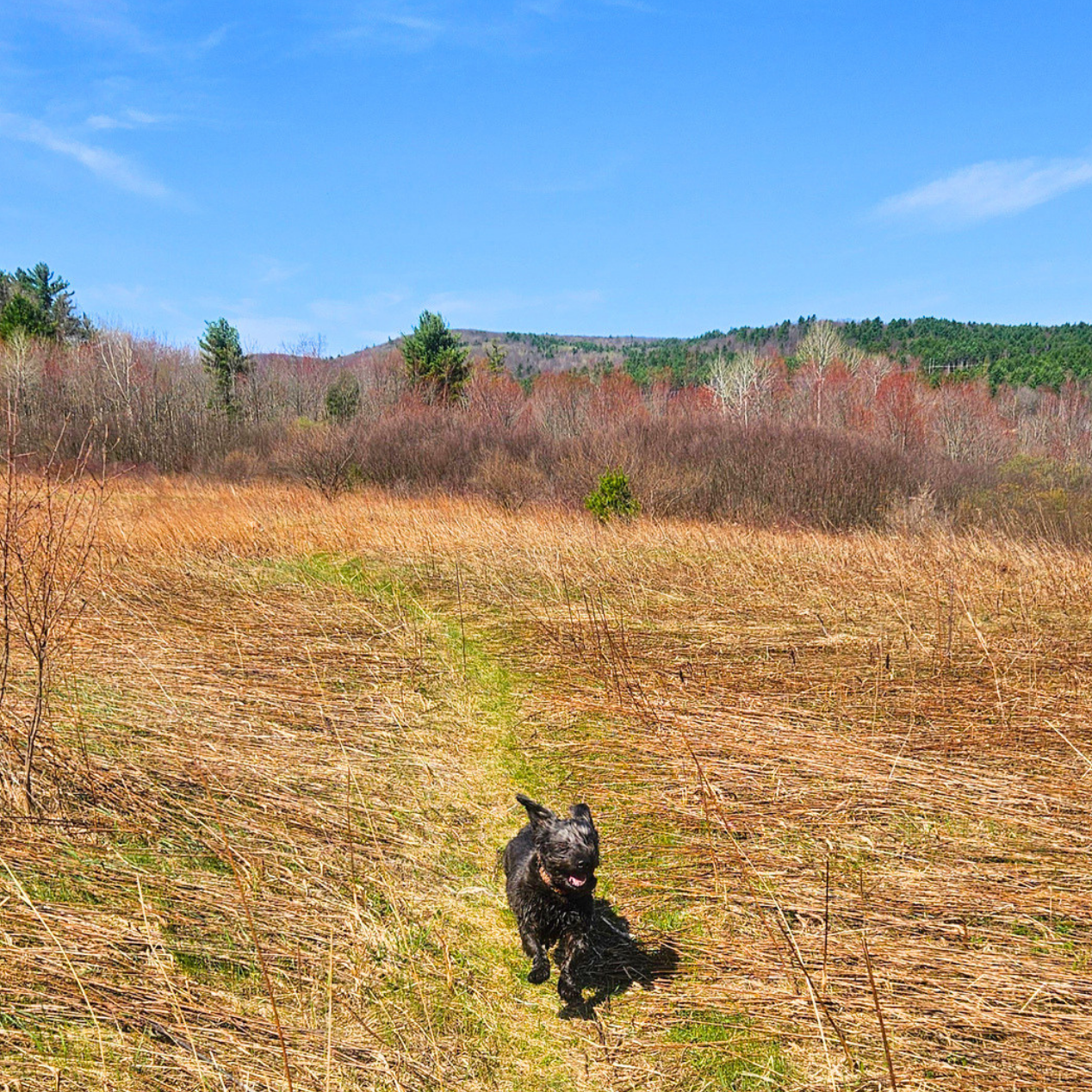
Another pawfect adventure spot for every level of dog friendly hiking, xc skiing, snowshoeing, trail biking, and more. Curated verdant valley looping trails, bounding rivers, overlooks, gentle and extreme terrain - all well marked. Start at the Fairgrounds and bring your camera. Another one of our faves.
Poultney, Vermont
Easy - Moderate - Difficult
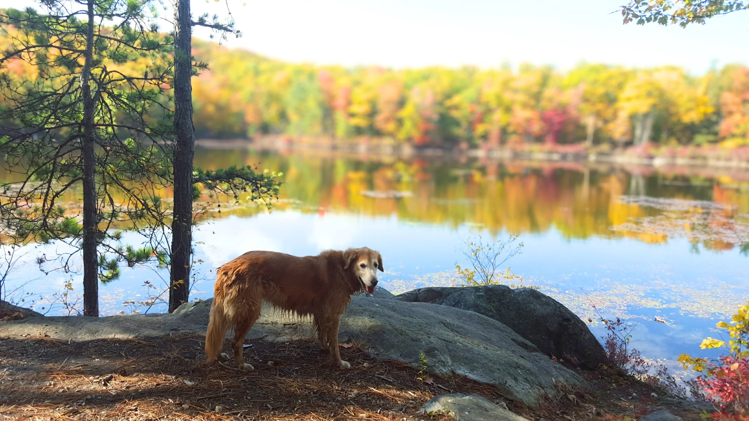
Chittenden Reservoir and Lefferts Pond Trail
Easily a favorite hike among our guests. This scenic trail offers a long and fairly flat hike that circles the Chittenden Reservoir with beautiful views, criss-crossing streams and multiple opportunities to get wet. Follow trail 18 for the best experience and look for the golden eagles that hunt the lake.
Chittenden, Vermont
Easy
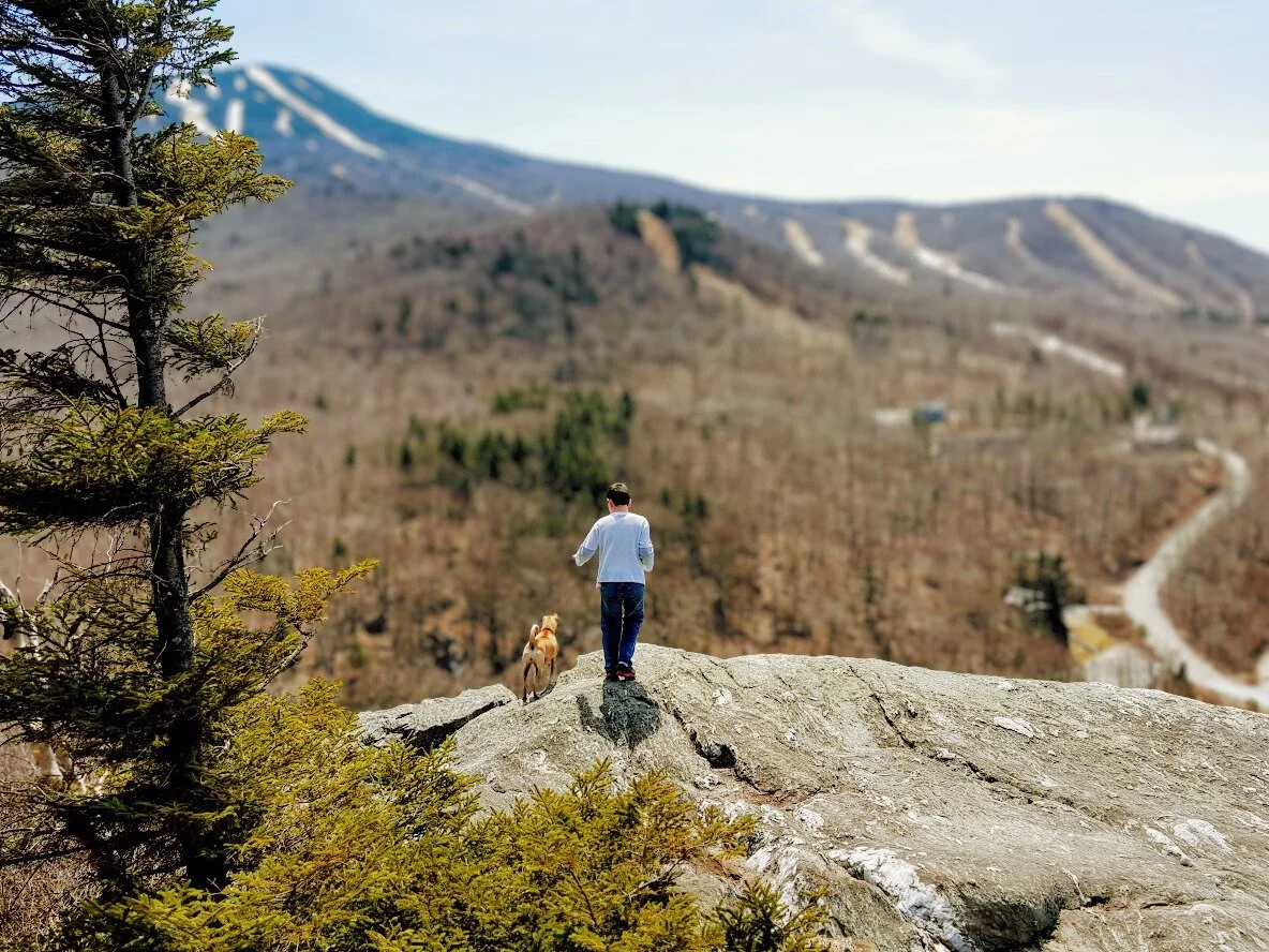
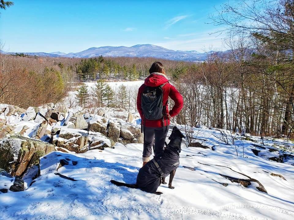
Looking for the quintessential rugged Vermont day hike with breathtaking views? Then this one’s for you! Begin on the valley floor and trek up to summit Pico and Killington Peaks. Bring a camera and a snack. 8+ miles round trip moderate to difficult with waterfalls, wildflowers, and maybe a moose along the way.
Killington, Vermont
Moderate - Difficult
Pico can be summited from a couple of access areas. The base of the ski resort offers a direct approach up the access road, an easy hike and straightforward. Or you can tackle the Sherburne Trail and enjoy your dinner guilt free! Either way, the views are spectacular!
Killington, Vermont
Moderate
Aiken State Forest (Bald Mountain Trail)
Breathtaking vistas, blueberries, and wildflowers in the summer months with offer panoramic views of the Green Mountain range, Otter Creek, Cold River valley, and Rutland City. The hike has mostly moderate grades with a few steep descents on the West Loop and the end of the East Loop.
Rutland, Vermont
Moderate
Haystack Mountain at North Pawlet Hills
Gentle summit hike with an incredible payoff at the top. This natural area features a series of rounded, forested peaks in the northern Taconic Mountains, clustered in an extensive landscape of unbroken forest. *Side tip…go to Mack’s Market General Store first to get a snackie for the summit. You’ll be happy that you did.
Pawlett, Vermont
Moderate
Okemo State Forest (Healdville Trail)
The Healdville Trail climbs from the base to the summit of Okemo Mountain in Ludlow and Mount Holly. Highlights of this trail include the former fire lookout tower on the summit and a vista along the trail with views to the north and west.
Mt Holly, Vermont
Moderate
Whipple Hollow Trail (Bird Sanctuary)
A bird lover’s paradise, this gentle trail meanders throughout the West Rutland marshlands - a treasure trove of nature’s diverse habitat in the valley floor beneath the Taconic Mountain Range. If you go, check out this reference guide first to heighten your senses!
West Rutland, Vermont
Easy
West Rutland Dog Park & Recreation Trail
Begin at the public dog park and explore a gentle path along the Otter River and wide meadow leads to a moderate climb with views of the Taconic range. If you are looking for a short, very local hike with views and biodiversity, don’t pass.
West Rutland, Vermont
Easy to Moderate